File:Borgonze.jpg
From FrathWiki
No higher resolution available.
Borgonze.jpg (200 × 191 pixels, file size: 11 KB, MIME type: image/jpeg)
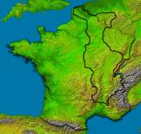
Map showing approximate extent of Borgonze superimposed on OTL modern France.
Who can improve this map?
The borders certainly need to be adjusted to correspond to natural boundaries. The map was created by coloring parts of a low-resolution map of the regions of OTL France red and then pasting the colored parts into a layer over a high resolution physical map of OTL France, outline the colored parts and lastly approximately scale and trim it. It certainly needs more trimming by someone who is better at these graphics things than I am! BPJ 04:47, 20 September 2007 (PDT)
File history
Click on a date/time to view the file as it appeared at that time.
| Date/Time | Thumbnail | Dimensions | User | Comment | |
|---|---|---|---|---|---|
| current | 07:01, 25 September 2007 | | 200 × 191 (11 KB) | Melroch (Talk | contribs) | Lean is mean |
| 02:53, 22 September 2007 | 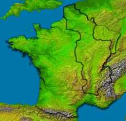 | 260 × 250 (24 KB) | Melroch (Talk | contribs) | Outline instead of transparent red blot | |
| 00:13, 21 September 2007 |  | 260 × 250 (22 KB) | Melroch (Talk | contribs) | Improved but still far from perfect image | |
| 04:25, 20 September 2007 | 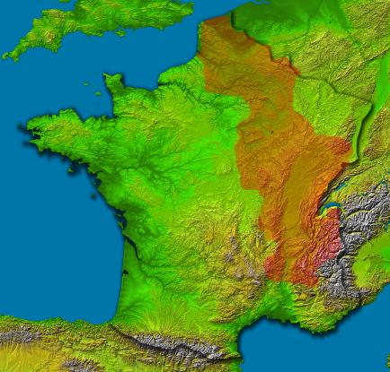 | 434 × 415 (49 KB) | Melroch (Talk | contribs) | Map showing approximate extent of Borgonze |
- You cannot overwrite this file.
File usage
The following 2 pages link to this file: